Western Australia Road & 4WD Track Atlas
Discover Australia’s largest state with the Western Australia Road & 4WD Track Atlas.

Description
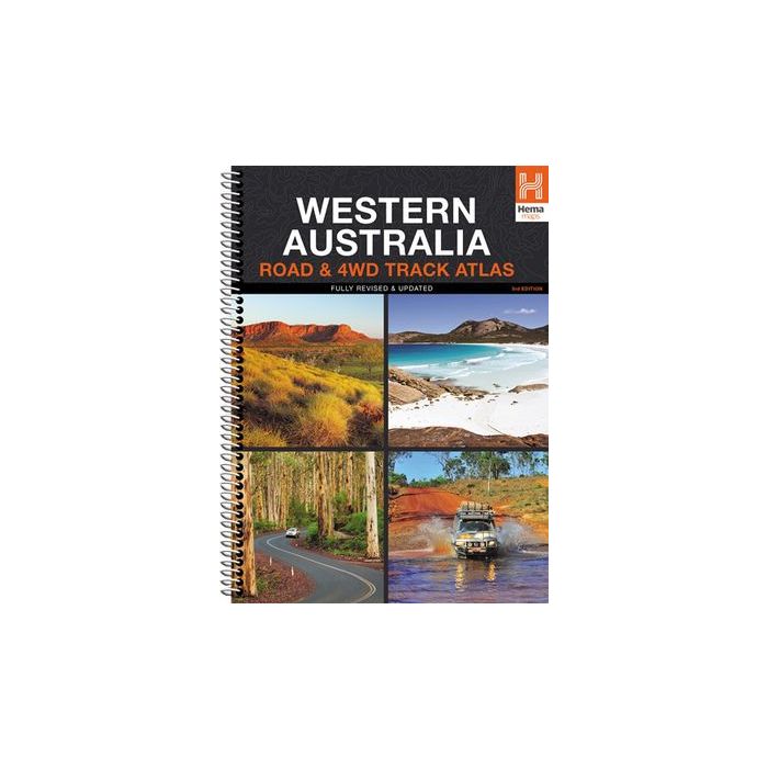
Discover Australia’s largest state with the Western Australia Road & 4WD Track Atlas. Plan and navigate your trip with state-wide atlas mapping, which includes detailed coverage of Perth and Southwest Western Australia (WA). Find an adventure with a list of the state’s Top 50 4WD Trips, which each have a track grading, distances, contact information and an atlas reference. There’s even detailed information on Western Australia’s Top 25 National Parks, including camping areas within each park, things to do, contact details, an inset map and a rundown of what makes each park unique. To top it off, there is also a list of private camping areas and caravan parks, an index and a list of all accredited visitor centres within Western Australia.
What's included in this atlas:
INTRO SECTION
Top 50 4WD trips
National Parks
Private camping areas & caravan parks
Visitor centres
Top 25 National Parks
Avon Valley National Park
Cape Arid National Park
Cape Le Grand National Park
Cape Range National Park
D'Entrecasteaux National Park
Fitzgerald National Park
Francois National Park
Kalbarri National Park
Karijini National Park
Karlamilyi National Park
Kennedy Range National Park
Lane Poole National Park
Leeuwin-Naturaliste National Park
Millstream-Chichester National Park
Mount Augustus National Park
Nambung National Park
Purnululu National Park
Shannon National Park
Stirling Range National Park
Stokes National Park
Walpole-Nornalup National Park
Warren National Park
Waychinicup National Park
Wellington National Park
Yalgorup National Park
ATLAS SECTION
Perth & Surrounds
Key Map
Perth CBD
Perth Suburbs
Perth Region
Perth Throughroads
Southern WA Maps
Key Map
WA Maps
Key Map
Index
Legend
Quick Find Distance Chart (Back Cover)