Maps & Books
-
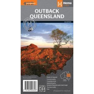 Outback Queensland Map
Contains mapping and visitor information for one of the most iconic regions in Australia.
$12.90View Product -
-
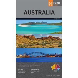
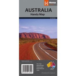 Australia Handy Map
The Australia Handy Map is a foldable, compact Australian map.
$9.90View Product -
-
 Australia Large Map
A folded map of Australia that is ideal as a reference and trip planning tool
$12.90View Product -
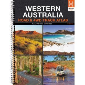 Western Australia Road & 4WD Track Atlas
Discover Australia’s largest state with the Western Australia Road & 4WD Track Atlas.
$34.90View Product -
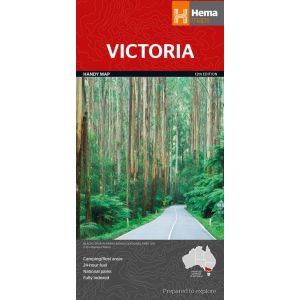 Victoria Handy Map
Featuring camping and rest areas, 24-hour fuel and national parks, the Victoria Handy Map is the perfect compact touring partner.
$9.00View Product -
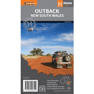 Hema Outback New South Wales 4WD Map
A regional map of outback NSW that ranges from Tamworth to well past Broken Hill.
$11.90View Product -
-
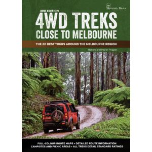 4WD Treks Close To Melbourne
This guidebook features the 20 best tours in the Melbourne region and is accompanied by a corresponding road atlas.
- Details the region's 20 best 4WD tours
- Detailed route maps
- Route information
- Campsites and picnic areas
- Treks colour-coded for driving standards
$44.90View Product -
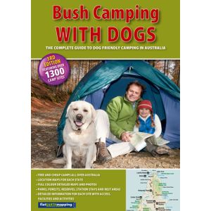 Bush Camping With Dogs
This guide details more than 1300 camp sites across Australia.
$34.90View Product
-
 Pick Up AvailableSave on Delivery
 -
 Secure ShoppingFast Checkout
 -
 Fast ShippingAustralia Wide
 -
 Need Help?Helpful Advice